


When you’re standing on the edge of a major river it’s difficult to imagine it was or ever would be any other shape than it is at that very moment. But over time a river can transform its path in extreme ways. Take, for instance, the Ucayali River in Peru. Watch below as satellite imagery from over 30 years is compiled into the following GIF (via Kottke):
………………………………………………………….
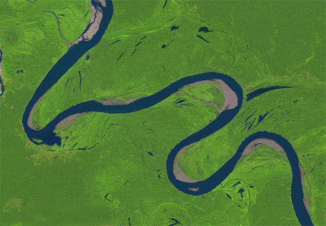
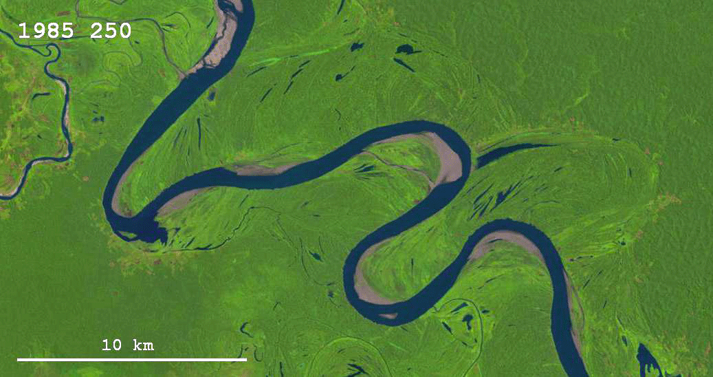
And just below is satellite imagery showing the changing course of a river in Bolivia. This GIF was compiled using satellite imagery taken from 1984 to 2012, and comes from Google’s remarkable Earth Engine:

The Google Earth Engine also has GIFs of other natural transformations such as Cape Cod’s coastal erosion from 1984 to 2012:
The growth of Las Vegas from 1984 to 2012:
Amazon deforestation from 1984 to 2012:
Dubai coastal expansion from 1984 to 2012:
The drying of Lake Urmia in Iran from 1984 to 2012:
The growth of Shanghai, China from 1984 to 2012:
Wyoming coal mining from 1984 to 2012:
The drying of the Aral Sea in Kazakhstan from 1984 to 2012:


