


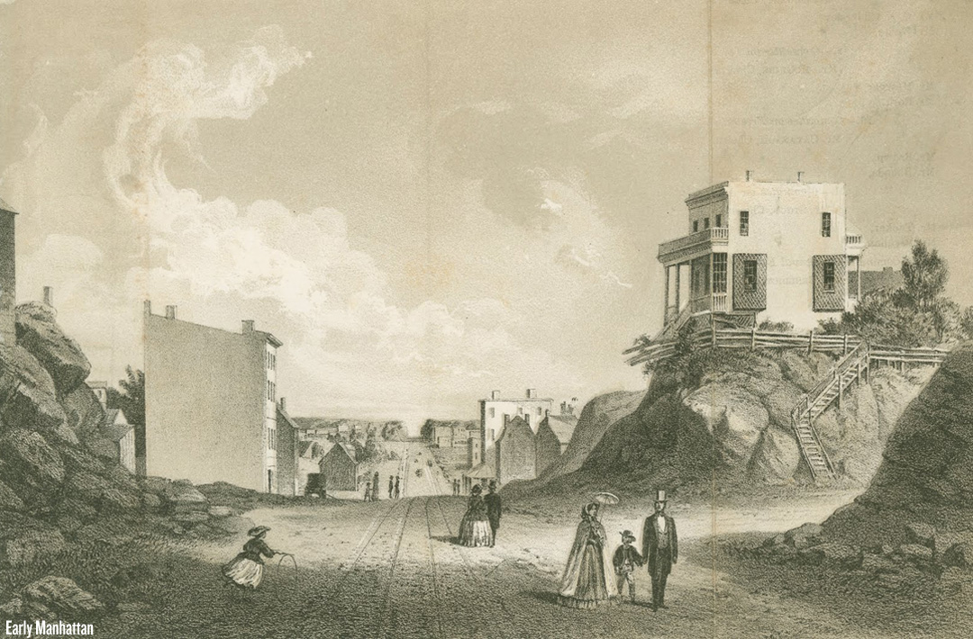
For its first two centuries of existence, the main water source for Manhattan was a pristine bubbling spring nestled beautifully between Chinatown and the Financial District. Roads meandered organically and randomly to-and-from the well, known as the Collect Pond, and life in tiny Manhattan was quite peaceful. Eventually the pond turned into a cesspool and had to be paved over. But even more pressing than a water supply was the fact that more and more people were moving to the city from overseas and that giant patch of rocky, barren wasteland between what is now 23rd street and 90th street — the city-owned “Common Lands” — needed to be developed. This would not be easy. The huge chunk of rolling rocky wasteland (“Mannahatta” translates to “island of hills”) would have to be surveyed with exact precision, the various farmlands that dotted the landscape would have to be taken over by the government through enforcement of “eminent domain”, city officials would have to be paid off, and on and on and on. But soon enough that famous grid plan finally began to emerge, and this amazing story is being told in a new book entitled The Greatest Grid: The Master Plan of Manhattan, 1811-2011 edited by Hilary Ballon (buy on Amazon). For a terrific preview of the book you can head over to BrainPickings.org.


